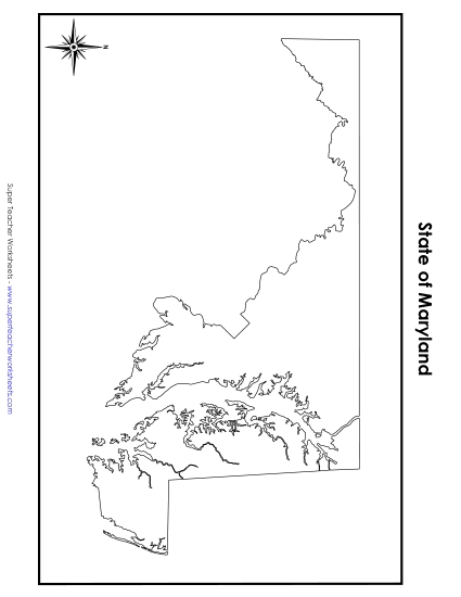
Map of Maryland Printable State-maps PDF Worksheet
Map of Maryland
Explore the state of Maryland with our engaging and educational Map of Maryland printable PDF. Perfect for 4th and 5th grade classrooms, this resource helps students learn key geographical features such as the state capital, Annapolis, major cities, bodies of water, and neighboring states. Ideal for teaching, learning, and review, this colorful, labeled map enhances study sessions, classroom activities, and homework assignments, making geography fun and accessible. Equip your students with the skills to navigate and understand Maryland's layout effectively.
This worksheet is recommended for students in Fourth Grade and Fifth Grade.


You May Also Be Interested In