Super Teacher Worksheets

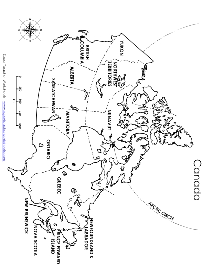
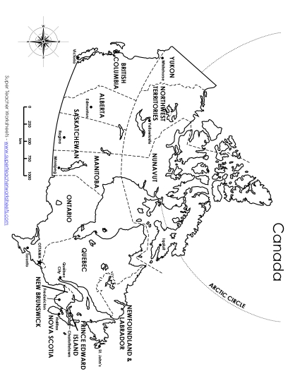
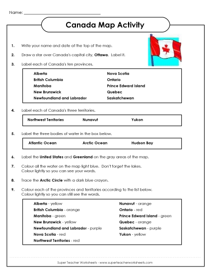
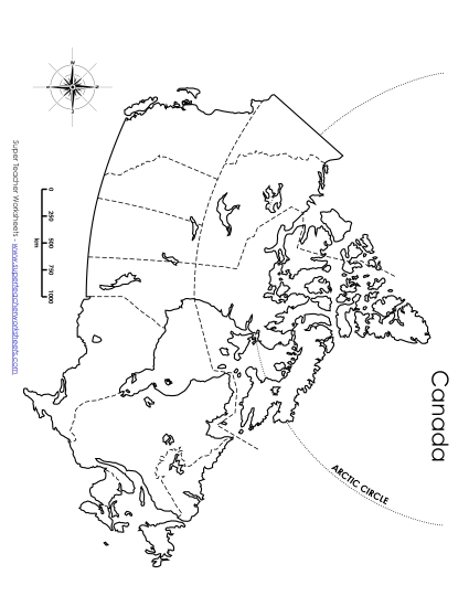
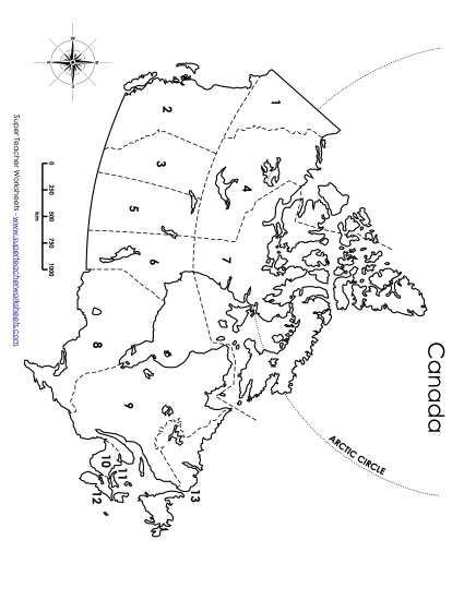
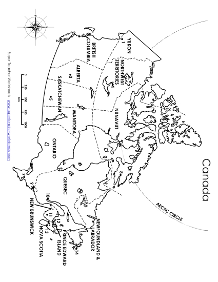
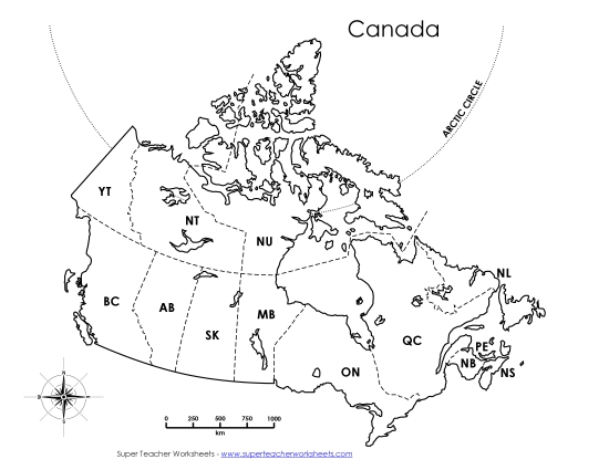
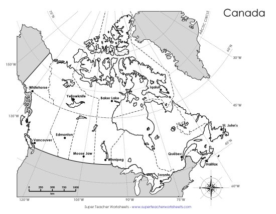
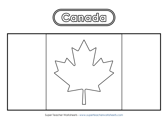
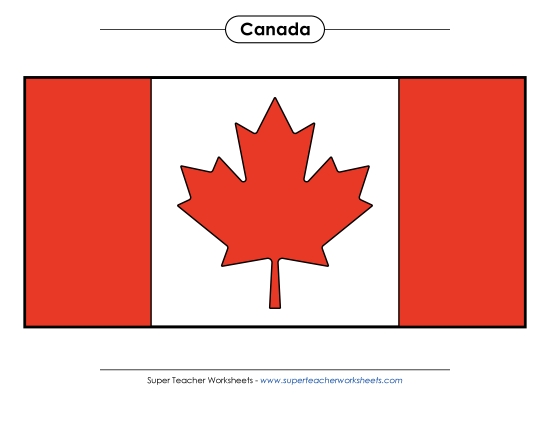
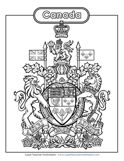
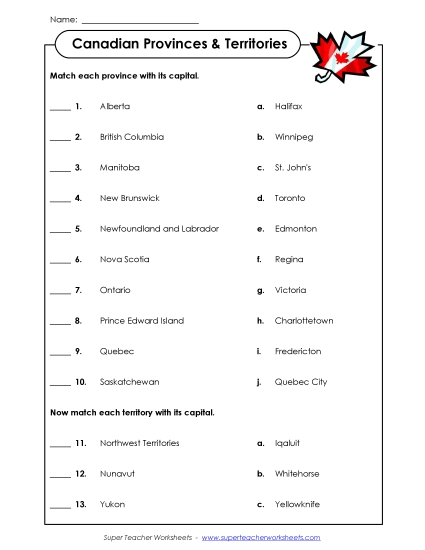
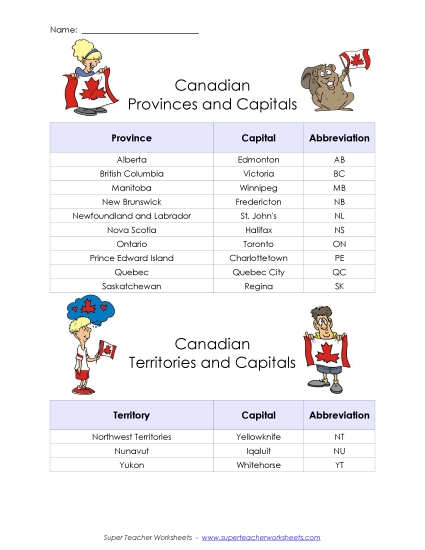
Canadian Provinces and Territories Worksheets

Teach your students about Canada's 10 provinces and 3 territories with these printable maps and worksheets.

Canada Worksheets

Canada Maps

This political map of Canada has labels for provinces and territories.
4th through 6th Grades
Common Core
Preview File
Members can add this to their file cabinet
This political map of Canada has labels for provinces, territories and their capitals.
4th through 6th Grades
Follow the directions to complete the map of Canada.
4th through 6th Grades
Label provinces, bodies of water, and cities on this blank map of Canada.
4th through 6th Grades
Write the name of the province for each corresponding number on the map.
4th through 6th Grades
Students write the names of the provincial and territorial capitals for each number on the map.
4th through 6th Grades
This map shows the provinces and territories and has abbreviated labels.
4th through 6th Grades
This latitude and longitude map includes questions and requires students to locate cities.
4th through 6th Grades
This blank map of Canada includes latitude and longitude lines.
4th through 6th Grades

Flag and Coat of Arms

Your students can use a red crayon or marker to colour this Canadian flag.
1st through 8th Grades
Here is a full colour version of the Canadian flag that you can print out.
1st through 8th Grades
THis is a black-and-white image of Canada's coat of arms. Your students can colour in the lions, unicorn, maple leaves, flags, flowers, and crown.
2nd through 8th Grades
Print this full colour poster of Canada's coat of arms and hang it in your classroom.
2nd through 8th Grades
This file contains a colourable version of Canada's escutcheon.
2nd through 8th Grades
Here you'll find the full colour version of Canada's escutcheon.
2nd through 8th Grades

Reports, Games, & Worksheets

Use these forms to write a research report on one of Canada's provinces.
4th through 6th Grades
Match each province to its capital in this 2-player card game.
4th through 6th Grades
Print out these puzzle pieces to match each Canadian province/territory with its capital.
4th through 6th Grades
Match each Canadian province with its capital. Then match each Canadian territory with its capital.
4th through 6th Grades
This worksheet contains a table with provinces and territories, their abbreviations, and their capitals.
4th through 6th Grades
Students write their address, town/city, province, country, continent, hemisphere, and planet. Then they draw a picture of their home and a map of their province.
See also:
Individual Provinces and Territories

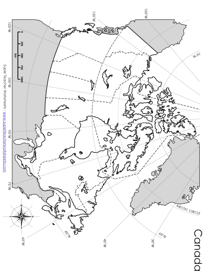
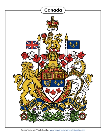
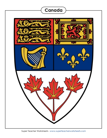
Link to worksheets for the 13 individual provinces and territories. (example: Worksheets only for the province of Ontario.) Maps, flags, coats of arms, and more.

Penelope Peabody: Lost in Canada

Penelope Peabody is visiting Canada, but she's not sure where exactly she is! Students use clues from the short reading passages to determine which province or territory she's in. This page has 13 worksheets, one for each of Canada's provinces or territories.

Counting Money (Canadian)

Count toonies, loonies, quarters, nickels, and dimes with these Canadian currency worksheets.

Map Worksheets

On this page we have printable maps for each of the seven continents.

USA States and Capitals

Teach students about the USA's fifty states and capitals.

Sample Worksheet Images

Canada Worksheets - Capital Matching Puzzle

Canada Worksheets - Capital Matching Worksheet

Canada Worksheets - Province/Territory Report

Please Log In to Super Teacher Worksheets
Username:
Password:
Can't remember your password?
Not a member yet? Join Today!
Become a Member
Social Media
Follow Us
facebook
Twitter
Pinterest
Instagram
Not a Member?
For complete access to thousands of printable lessons click the button or the link below.
© 2024 Super Teacher Worksheets

PDF with answer key:

PDF no answer key:

Common Core Alignment
Preview