Provinces Map #1 Printable Maps South Africa Labeled1 PDF Worksheet
Provinces Map #1
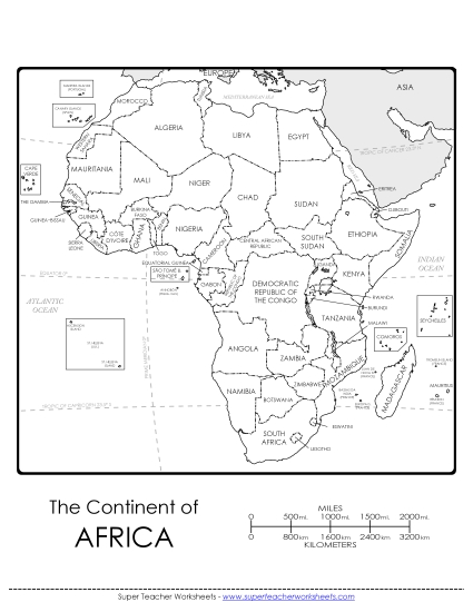
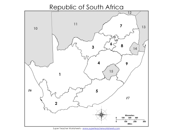
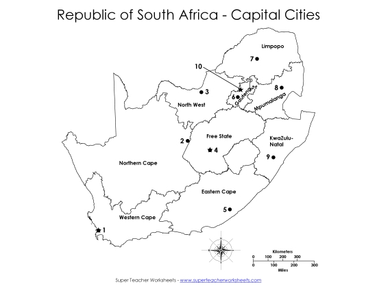
Enhance your teaching toolkit with our "Provinces Map #1" PDF worksheet! Designed to make learning geography engaging and fun for elementary students, this resource features a detailed map of South Africa, highlighting each province with clear outlines and names, as well as its neighboring countries. Ideal for classroom study, homework, or as a review activity, this printable helps reinforce map-reading skills and geographical knowledge in primary school grades.
This worksheet is recommended for students in Third Grade, Fourth Grade, Fifth Grade, Sixth Grade, Seventh Grade and Eighth Grade.
")

You May Also Be Interested In