UK Map with Directions Printable PDF Worksheet
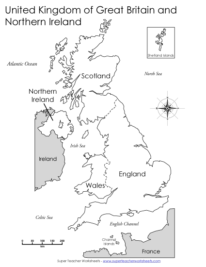
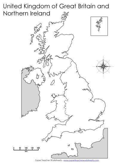
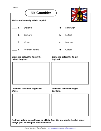
UK Map with Directions
Perfect for primary school grades, our "UK Map with Directions" printable PDF worksheet is a vibrant resource designed to enhance geography lessons. Teachers and homeschoolers will find this activity ideal for teaching about the UK's political regions, including England, Wales, Scotland, and Northern Ireland. This engaging tool helps students learn through coloring, making it fun to review and reinforce geographical knowledge in the classroom or as homework.
This worksheet is recommended for students in Third Grade, Fourth Grade, Fifth Grade, and Sixth Grade.
")

You May Also Be Interested In