Map of Louisiana Printable State Maps PDF Worksheet
Map of Louisiana
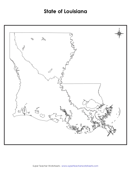
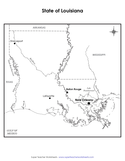
Explore Louisiana with our 'Map of Louisiana' worksheet, perfect for grades 4-5! This printable PDF resource enhances learning by helping students identify the state capital, major cities, significant lakes, rivers, and bordering states. Ideal for classroom review, homework, or as a fun instructional activity, it encourages students to engage with geography through clear, easy-to-read maps. This tool is great for teachers and homeschoolers looking to strengthen geographic skills with practical problems and answers.
This worksheet is recommended for students in Fourth Grade and Fifth Grade.
")

You May Also Be Interested In