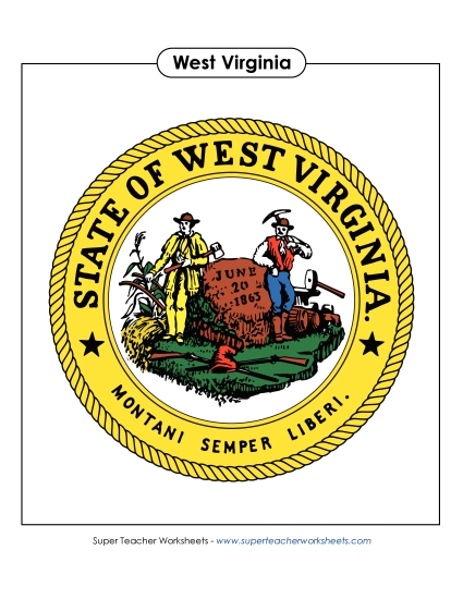
West Virginia Map (Labeled) Printable State Maps Labeled PDF Worksheet
West Virginia Map (Labeled)
Explore West Virginia with our labeled map, perfect for 3rd grade students! This printable PDF serves as an excellent resource to enhance geographic learning in the classroom. It features key cities like Charleston and Morgantown, plus major bodies of water and mountains. Ideal for teaching about state geography, this worksheet helps with practice, review, and homework. It’s designed to engage students and make learning fun while they study important map skills through questions and answers.
This worksheet is recommended for students in Third Grade, Fourth Grade, Fifth Grade and Sixth Grade.
Common Core Standards:
IGNOREd.
")

You May Also Be Interested In