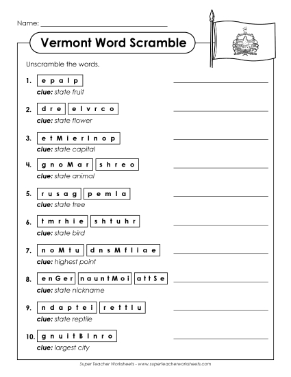
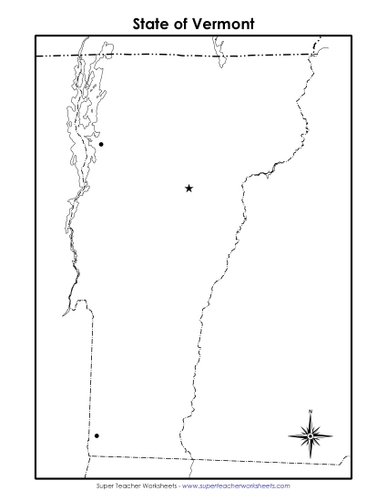
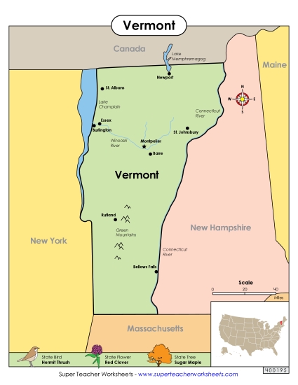
Vermont Map (Labeled) Printable State-maps PDF Worksheet
Vermont Map (Labeled)
Unlock the wonders of Vermont with our labeled map, perfect for elementary classroom use or homeschool learning. This engaging printable PDF worksheet helps students learn about key locations like Montpelier, Bennington, and Burlington, as well as geographical features such as the Connecticut River and Lake Champlain. Ideal for teaching geography, this resource offers a fun way to practice map skills, review key concepts, and enhance study sessions. Equip your students with the knowledge they need about Vermont in a fun, interactive manner!
This worksheet is recommended for students in Third Grade, Fourth Grade, Fifth Grade and Sixth Grade.
Common Core Standards:
ignored.
")

You May Also Be Interested In