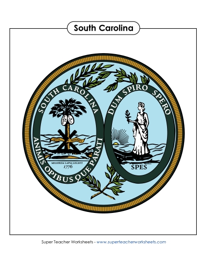
South Carolina Map (Labeled) Printable State Maps Labeled PDF Worksheet
South Carolina Map (Labeled)
Enhance your geography lessons with our "South Carolina Map (Labeled)" printable PDF. Perfect for elementary classrooms and homeschooling, this resource helps students learn key locations in South Carolina, including major cities like Charleston and Columbia, as well as important water bodies such as Charleston Harbor and the Savannah River. Ideal for teaching, review, or as a fun homework activity, this worksheet engages students in practicing and reinforcing their map-reading skills.
This worksheet is recommended for students in Third Grade, Fourth Grade, Fifth Grade and Sixth Grade.
Common Core Standards:
ignored.
")

You May Also Be Interested In