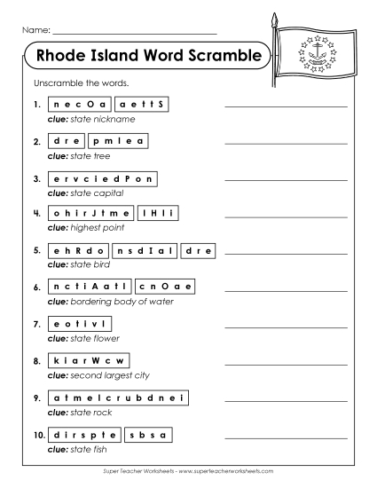
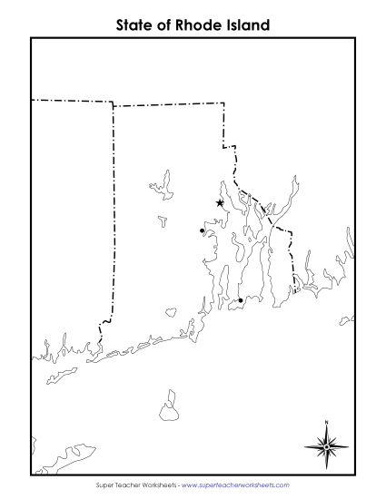
Rhode Island Map (Labeled) Printable State-maps PDF Worksheet
Rhode Island Map (Labeled)
Explore Rhode Island with our labeled map, perfect for elementary classroom use or homeschooling! This educational PDF worksheet is designed to enhance geography lessons by providing a clear and fun way to learn about major cities and key water bodies in Rhode Island. It's an excellent resource for teachers to engage students in learning state geography, offering a mix of teaching, practice, and review. Ideal for primary school grades, this printable helps reinforce geographical skills through an interactive activity.
Common Core Standards:
ignored.
")

You May Also Be Interested In