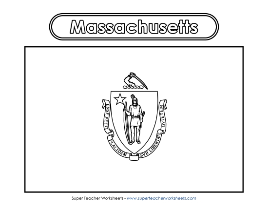
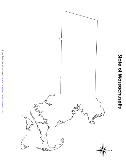
Massachusetts Map (Labeled) Printable State-maps PDF Worksheet
Massachusetts Map (Labeled)
Our Massachusetts Map (Labeled) printable PDF is a fantastic resource for elementary teachers and homeschoolers to teach primary school grades about geography. The map clearly marks major cities, bodies of water, and bordering states, making it an ideal tool for classroom instruction or homework. Engage students in learning with this fun activity that helps them review and practice their map-reading skills. This worksheet is designed to enhance knowledge through questions and answers, perfect for boosting geographical skills!
Common Core Standards:
ignored.
")

You May Also Be Interested In