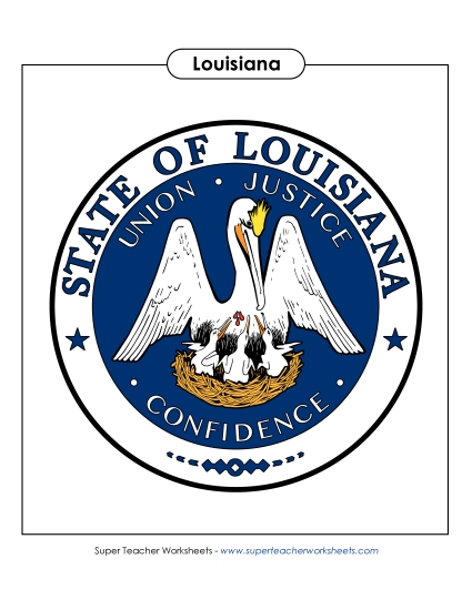
Louisiana Map (Labeled) Printable State-maps PDF Worksheet
Louisiana Map (Labeled)
Enhance your classroom resources with our "Louisiana Map (Labeled)" printable PDF. Ideal for elementary school teachers and homeschoolers, this worksheet is designed to make learning fun and engaging. Students can easily study key locations like Baton Rouge, New Orleans, and the Mississippi River, improving their geography skills through practice and review. This effective teaching tool encourages students to work on their map-reading and problem-solving abilities in a structured way, providing clear questions and answers to reinforce learning.
Common Core Standards:
ignored.
")

You May Also Be Interested In