Indiana Map (No Bordering States) Printable State Maps Blank Only PDF Worksheet
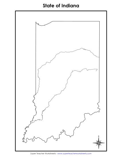
Indiana Map (No Bordering States)
Explore the Hoosier State with our "Indiana Map (No Bordering States)" worksheet, ideal for teaching geography in elementary classrooms. This printable PDF serves as a fantastic resource for students to learn state recognition and map-reading skills. Perfect for classroom activities, homework, or as a review tool, it helps engage young learners in primary school grades through fun and focused map study.
This worksheet is recommended for students in Third Grade, Fourth Grade, Fifth Grade and Sixth Grade.


You May Also Be Interested In


