Map of Washington Printable State-maps PDF Worksheet
Map of Washington
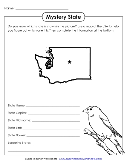
Enhance your teaching toolkit with our "Map of Washington" printable PDF. Ideal for students in grades 4 to 5, this resource includes a color map featuring prominent cities, bodies of water, and mountains, plus borders with Canada and neighboring states. It's perfect for classroom review, homework, or as a fun activity to engage students in learning geographic skills. This worksheet will help elementary students practice and reinforce their map-reading abilities while providing clear answers to common geographical questions.
This worksheet is recommended for students in Fourth Grade and Fifth Grade.


You May Also Be Interested In