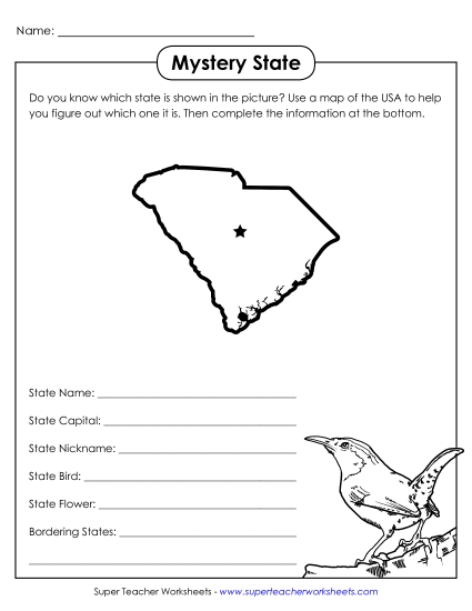
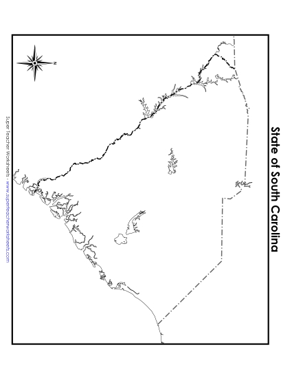
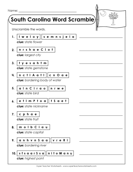
Map of South Carolina Printable State-maps PDF Worksheet
Map of South Carolina
Explore the geography of South Carolina with our printable PDF map, perfect for grades 4 to 5! This detailed resource includes labeled cities, rivers, lakes, neighboring states, and the Atlantic Ocean, making it an excellent tool for classroom instruction or homework. Teachers and homeschoolers will find this map helpful to engage students in learning and reviewing key geographical skills through fun and interactive activities. Ideal for study, practice, and reinforcing learning in an elementary setting.
This worksheet is recommended for students in Fourth Grade and Fifth Grade.


You May Also Be Interested In