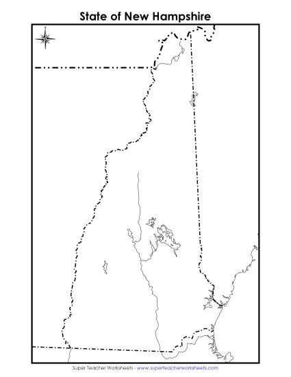
Map of New Hampshire Printable State-maps PDF Worksheet
Map of New Hampshire
Enhance your geography teaching with our 'Map of New Hampshire' printable PDF. Designed for grades 4-5, this resource helps students learn about key locations, water bodies, and neighboring states through engaging map activities. Perfect for classroom instruction, homework, or as a fun review activity, this map comes in both color and black and white versions to cater to different learning environments. It's an excellent tool to develop map-reading skills and enhance students' understanding of New Hampshire's geography.
This worksheet is recommended for students in Fourth Grade and Fifth Grade.


You May Also Be Interested In