Map of Ohio Printable State-maps PDF Worksheet
Map of Ohio
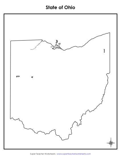
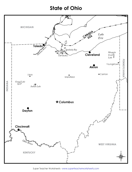
Explore the state of Ohio with our engaging and colorful printable PDF map, perfect for 4th and 5th grade classrooms. This resource includes labels for major cities, rivers, lakes, and neighboring states, making it an excellent tool for teaching geography. It's ideal for classroom instruction, homework review, or as a fun learning activity to enhance students' map-reading skills. Use this printable to help students learn, practice, and review key geographical features of Ohio with ease.
This worksheet is recommended for students in Fourth Grade and Fifth Grade.


You May Also Be Interested In