Northwest Territories Map (Black & White) Printable Canada PDF Worksheet
Northwest Territories Map (Black & White)
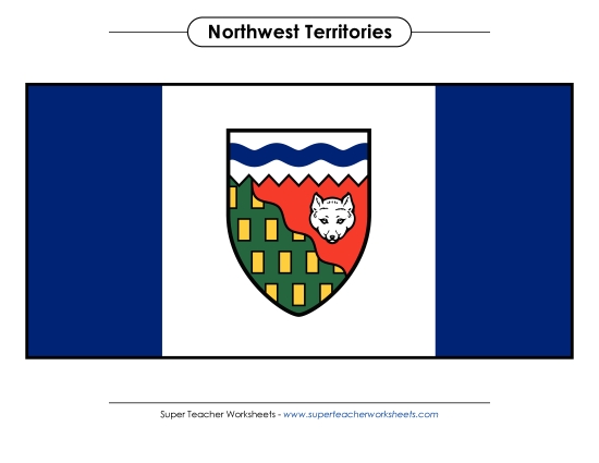
Explore the Northwest Territories with our printable PDF map, perfect for students in grades K-8. This black and white resource is designed to engage learners in the classroom or at home, making geography fun and accessible. Ideal for teaching location skills, this map allows students to practice identifying areas, review key landmarks, and enhance their understanding of this Canadian region through homework or class activities.
This worksheet is recommended for students in Kindergarten, First Grade, Second Grade, Third Grade, Fourth Grade, Fifth Grade, Sixth Grade, Seventh Grade and Eighth Grade.
")

You May Also Be Interested In