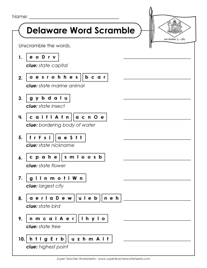
Labeled Delaware Map Printable State-maps PDF Worksheet
Labeled Delaware Map
Explore Delaware with our labeled map, perfect for grades 4-5! This printable PDF is an excellent resource for teachers and homeschoolers to enhance geography lessons in the classroom. The map highlights Delaware's capital, key cities, bodies of water, and neighboring states, providing a fun way to engage students in learning. Ideal for study, homework review, or as a hands-on classroom activity, this worksheet helps students practice and reinforce their map-reading skills.
This worksheet is recommended for students in Fourth Grade and Fifth Grade.


You May Also Be Interested In