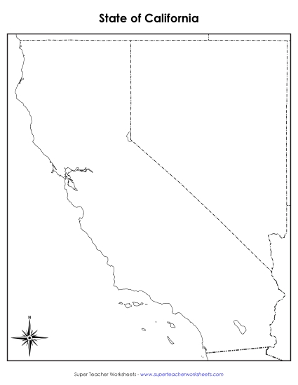
Labeled California Map Printable State-maps PDF Worksheet
Labeled California Map
Enhance your teaching toolkit with our "Labeled California Map" printable PDF, perfect for students in grades 4 to 5. This comprehensive map includes cities, bordering states, waterways, and Mexico, ideal for classroom review, study sessions, or homework. Engage elementary learners in geography with fun, interactive activities that build essential skills through practice and learning. A must-have resource for efficient and effective instruction!
This worksheet is recommended for students in Fourth Grade and Fifth Grade.


You May Also Be Interested In