Map of New England Printable Colonial-america PDF Worksheet
Map of New England
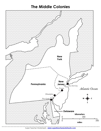
Explore the geography of early America with our "Map of New England" printable PDF worksheet! Designed for 4th-grade students, this resource is perfect for teaching historical maps in the classroom. It features a detailed 1775 map of Massachusetts (including Maine), New Hampshire, Connecticut, and Rhode Island. Engage your students in learning with fun activities, questions, and answers that help review and reinforce map-reading skills. Ideal for homework, classroom instruction, or as a supplemental learning tool.
This worksheet is recommended for students in Fourth Grade.
Common Core Standards:
4.L.4.c.


You May Also Be Interested In