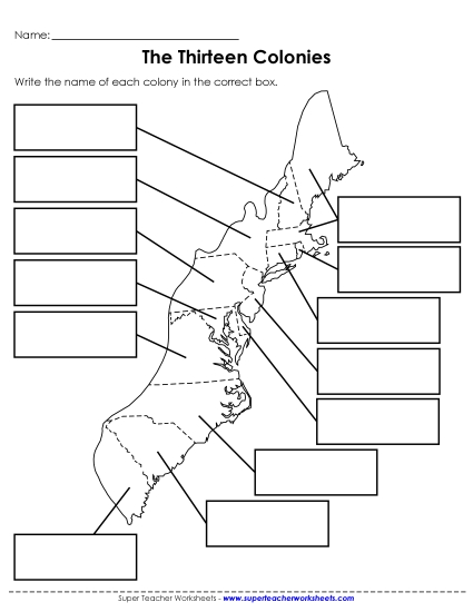
Map of New England Printable Colonial America Map1775 PDF Worksheet
Map of New England
Explore the geography of early America with our "Map of New England" printable PDF worksheet! Designed for 4th-grade students, this resource is perfect for teaching historical maps in the classroom. It features a detailed 1775 map of Massachusetts (including Maine), New Hampshire, Connecticut, and Rhode Island. Engage your students in learning with fun activities, questions, and answers that help review and reinforce map-reading skills. Ideal for homework, classroom instruction, or as a supplemental learning tool.
This worksheet is recommended for students in Fourth Grade and Fifth Grade.
- Common Core Standards
L.4.4c


You May Also Be Interested In


