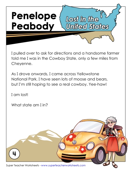
Wyoming State Map (Labeled) Printable Maps Labeled PDF Worksheet
Wyoming State Map (Labeled)
Enhance your geography lessons with our "Wyoming Map (Labeled)" PDF. Perfect for elementary classrooms and homeschool settings, this printable resource makes learning about Wyoming's key cities and rivers both engaging and educational. Ideal for teaching primary school grades, students can practice identifying locations, reviewing geographic terms, and answering related questions. This fun activity supports instruction and helps solidify map-reading skills through hands-on practice and study. Great for homework or as an in-class exercise!
This worksheet is recommended for students in Third Grade, Fourth Grade, Fifth Grade and Sixth Grade.
 (Printable PDF Worksheet)")

You May Also Be Interested In