Kentucky State Map (Labeled) Printable Maps Labeled PDF Worksheet
Kentucky State Map (Labeled)
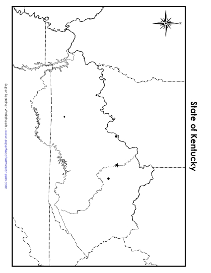
Enhance your teaching toolkit with our "Kentucky Map (Labeled)" worksheet. Ideal for elementary classrooms or homeschool settings, this printable PDF resource helps students learn about Kentucky's key cities and waterways through engaging map-based activities. Perfect for geography lessons, it offers a fun way to teach location skills and reinforce state knowledge. Use it for classroom review, homework, or as a handy study aid in primary school grades.
This worksheet is recommended for students in Third Grade, Fourth Grade, Fifth Grade and Sixth Grade.
 (Printable PDF Worksheet)")

You May Also Be Interested In