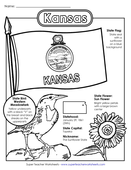
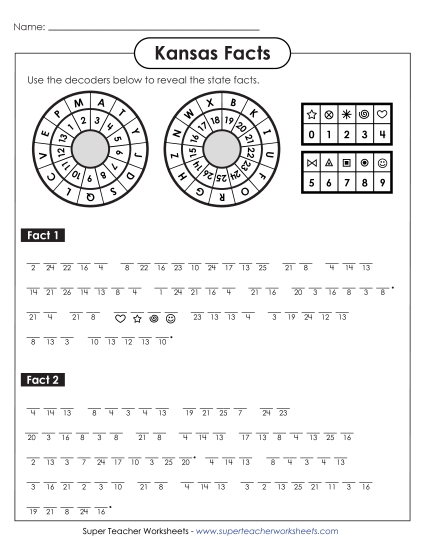
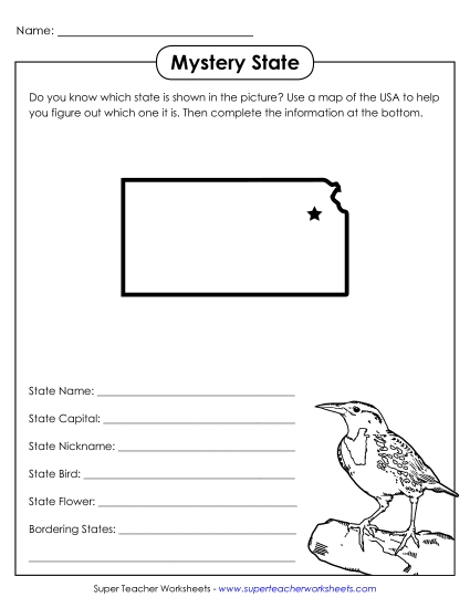
Kansas State Map (Labeled) Printable Maps Labeled PDF Worksheet
Kansas State Map (Labeled)
Explore the geography of Kansas with our labeled map, perfect for elementary classroom use! This printable PDF serves as an excellent resource for teachers and homeschoolers to teach primary school grades about key locations in Kansas. Students can engage with the map to learn about major cities like Kansas City, Topeka, and Wichita, as well as important rivers including the Arkansas and Missouri Rivers. Ideal for study, review, or homework, this activity will enhance learning and make geography fun and interactive.
This worksheet is recommended for students in Third Grade, Fourth Grade, Fifth Grade, and Sixth Grade.
 Back
Back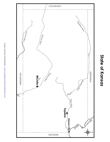

You May Also Be Interested In