Mississippi Map (Labeled) Printable State Maps Labeled PDF Worksheet
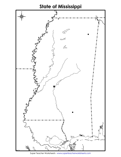
Mississippi Map (Labeled)
Enhance your teaching toolkit with our "Mississippi Map (Labeled)" PDF worksheet, perfect for elementary classrooms and homeschooling. This resource allows students in primary school grades to actively engage in learning the geography of Mississippi. It features detailed labels for key cities and major bodies of water like the Mississippi River and the Gulf of Mexico. Ideal for geography lessons, this printable is great for both classroom review and homework. It helps to practice map skills, reinforcing learning through fun and interactive study.
This worksheet is recommended for students in Third Grade, Fourth Grade, Fifth Grade, and Sixth Grade.
 (Printable PDF Worksheet)")

You May Also Be Interested In