Labeled Indiana Map Printable State Maps PDF Worksheet
Labeled Indiana Map
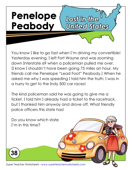
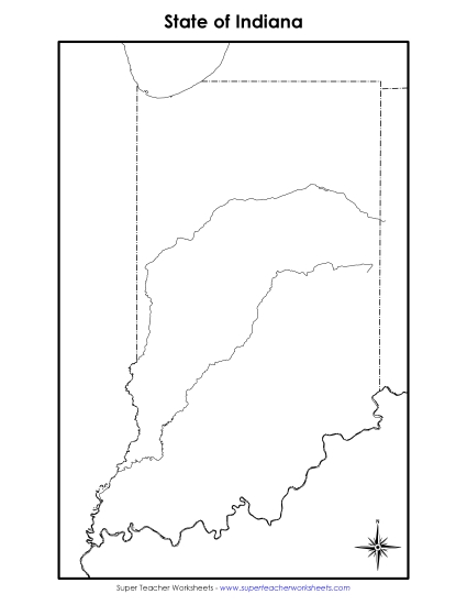
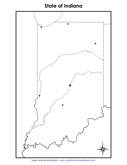
Enhance your geography lessons with our "Labeled Indiana Map" worksheet, perfect for 4th and 5th grade students. This printable PDF is an excellent resource for teachers and homeschoolers to teach state geography, allowing students to learn about Indiana’s major cities, lakes, rivers, and neighboring states. Engage your classroom with this fun and educational activity that helps practice map skills through questions and answers. Ideal for classroom review, homework, or as a study aid.
This worksheet is recommended for students in Fourth Grade and Fifth Grade.
")

You May Also Be Interested In