North Carolina State Map (Labeled) Printable Maps Labeled PDF Worksheet
North Carolina State Map (Labeled)
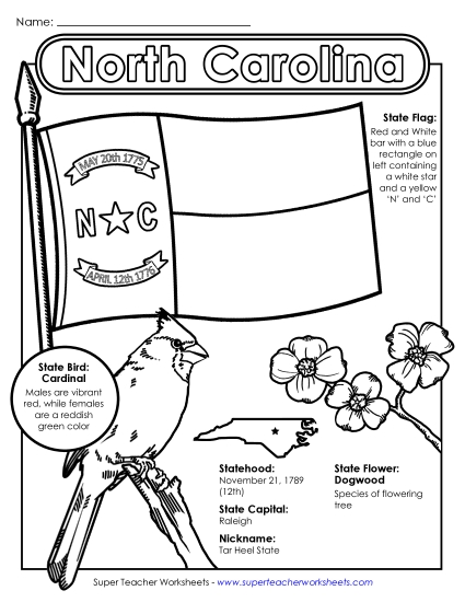
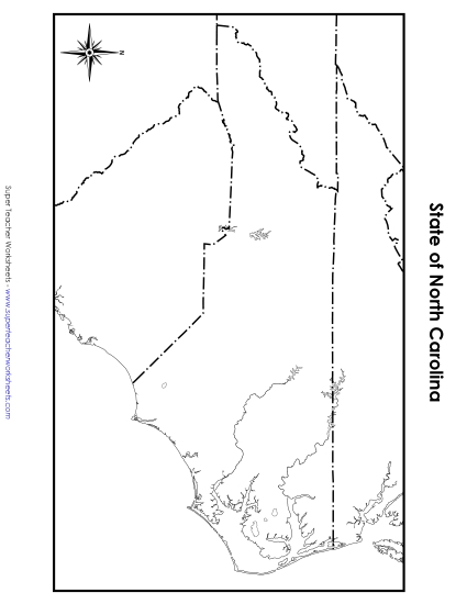
Enhance your teaching resources with our "North Carolina Map (Labeled)" printable PDF. Ideal for elementary classrooms and homeschool settings, this worksheet is designed to help students in primary school grades learn and identify key locations in North Carolina, including major cities like Raleigh and Charlotte, and landmarks such as the Outer Banks and Lake Norman. This engaging activity aids in geography lessons, making learning fun and effective. It's perfect for homework, class review, or as a handy study tool.
This worksheet is recommended for students in Third Grade, Fourth Grade, Fifth Grade, and Sixth Grade.
 Back
Back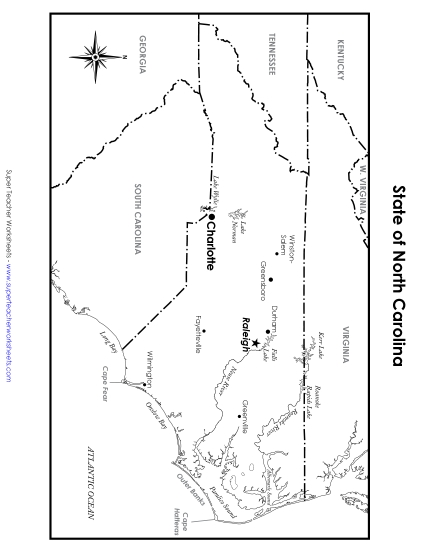
You May Also Be Interested In