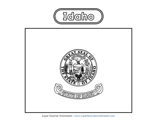
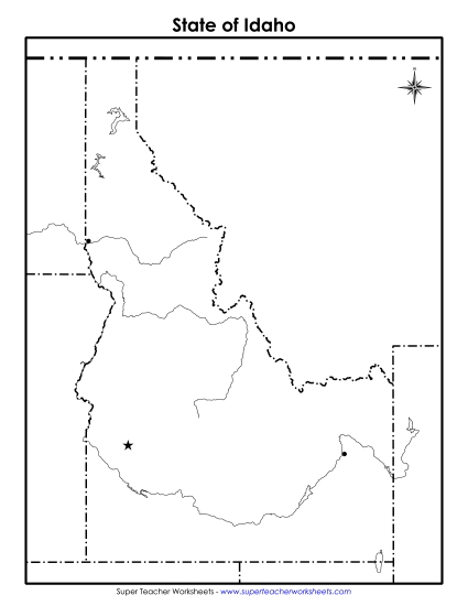
Labeled Idaho Map Printable State Maps PDF Worksheet
Labeled Idaho Map
Explore the geographical features of Idaho with our "Labeled Idaho Map" worksheet, perfect for 4th and 5th graders. This printable PDF is an excellent resource for teachers and homeschoolers, designed to engage students in learning about Idaho’s capital, major rivers, and mountains. It's ideal for classroom study, homework review, or as a fun activity to enhance geographic skills. Use this tool to help elementary students practice and reinforce their knowledge of Idaho’s layout through clear labels and interactive questions.
This worksheet is recommended for students in Fourth Grade and Fifth Grade.
")

You May Also Be Interested In