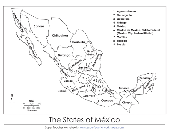
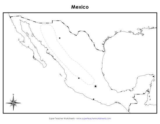
Map of Mexico (Labeled; English) Printable Maps Labeled PDF Worksheet
Map of Mexico (Labeled; English)
Engage your students in learning about geography with our "Map of Mexico (Labeled; English)" worksheet. Ideal for grades 3 to 6, this printable PDF resource is perfect for classroom instruction, homework, or as a fun review activity. It helps teach key locations like the Baja Peninsula, Mexico City, the Rio Grande, and more, enhancing map-reading skills through clear labels and questions. A great tool to practice, learn, and reinforce geographical knowledge!
This worksheet is recommended for students in Third Grade, Fourth Grade, Fifth Grade, and Sixth Grade.
 Back
Back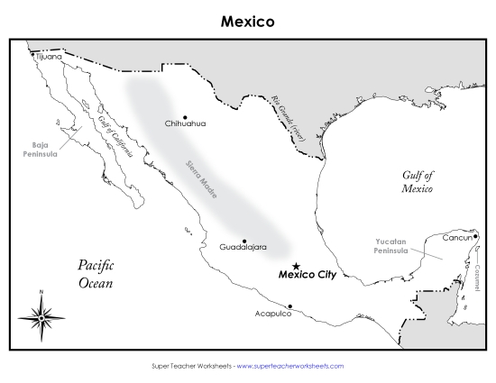
You May Also Be Interested In