Map of Connecticut Printable State Maps PDF Worksheet
Map of Connecticut
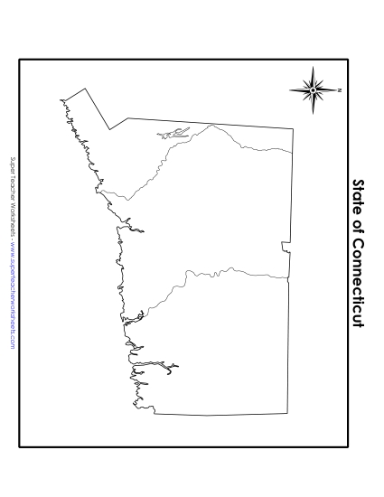
Enhance your geography lessons with our "Map of Connecticut" printable PDF worksheet, perfect for grades 4-5. This resource features a detailed, colored map highlighting the capital, major cities, bodies of water, and neighboring states. Ideal for classroom review, homework, or as a study aid, this worksheet helps students learn and engage with key geographical elements. It's a fun and effective way to teach map skills and reinforce learning in an elementary setting.
This worksheet is recommended for students in Fourth Grade and Fifth Grade.
")

You May Also Be Interested In