
Printable Map Worksheets
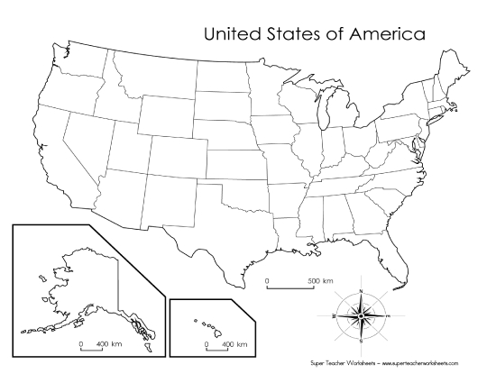
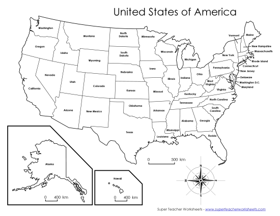
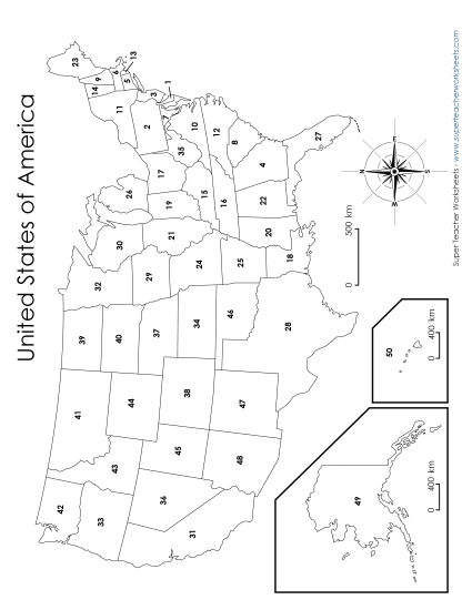
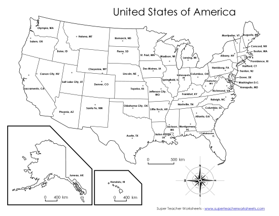
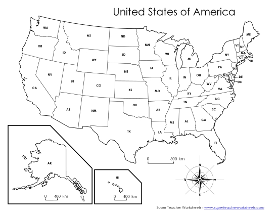
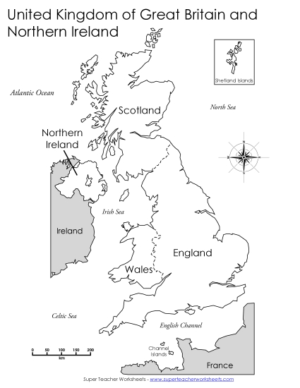
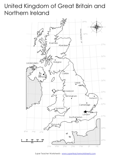
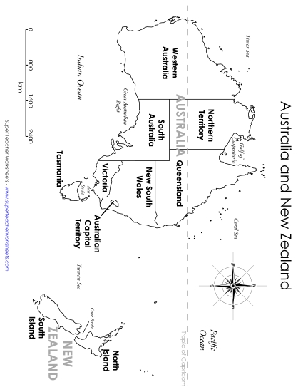
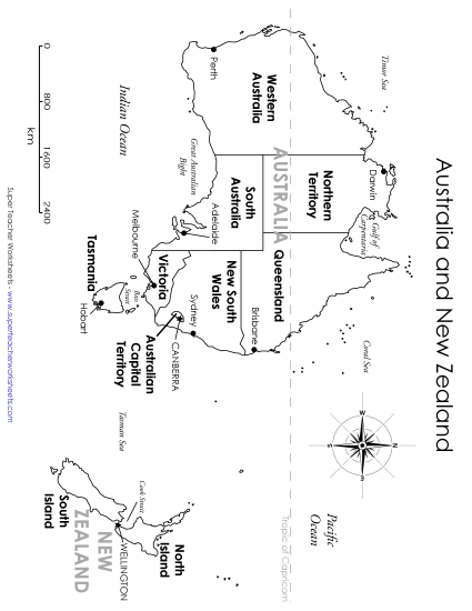
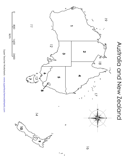
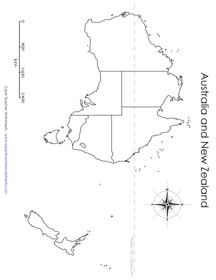
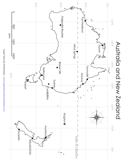
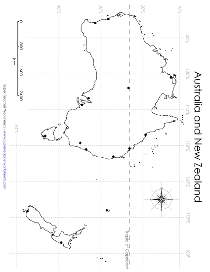
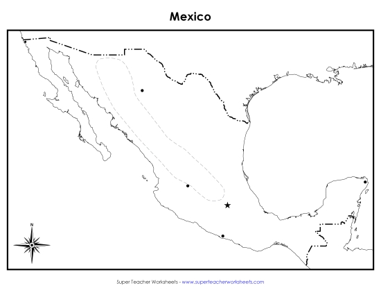
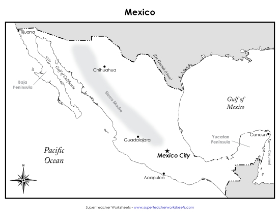
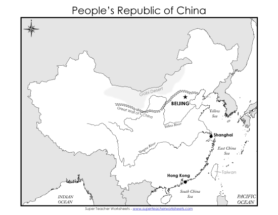
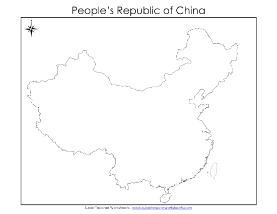
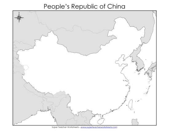
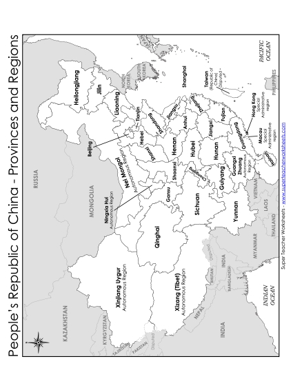
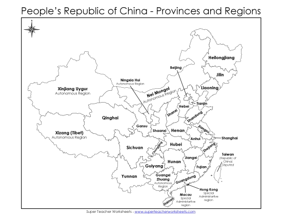
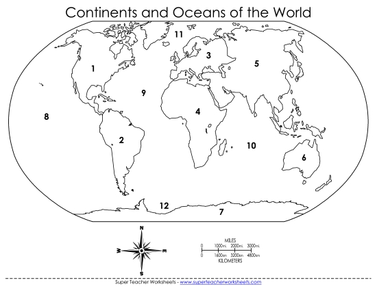
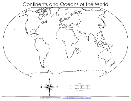
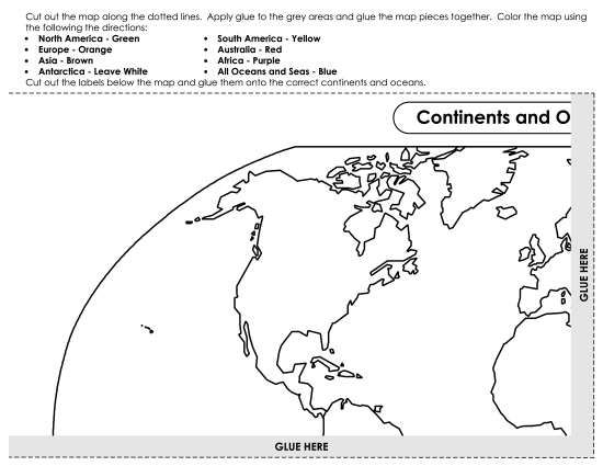
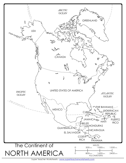
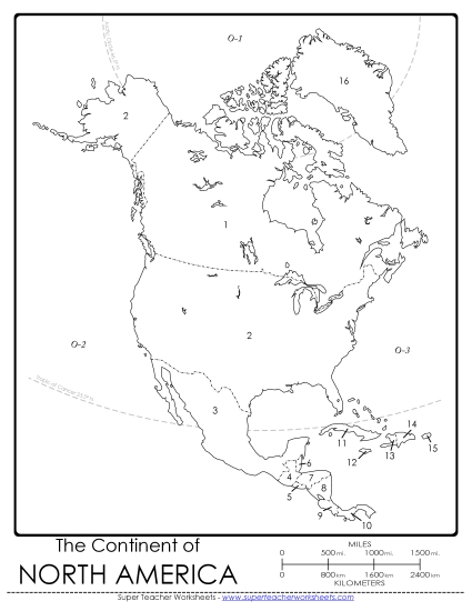
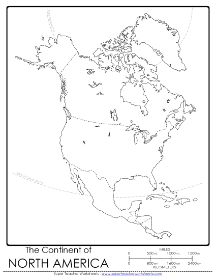
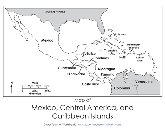
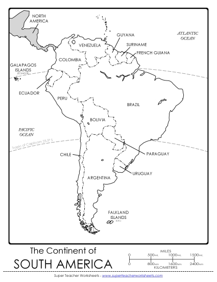
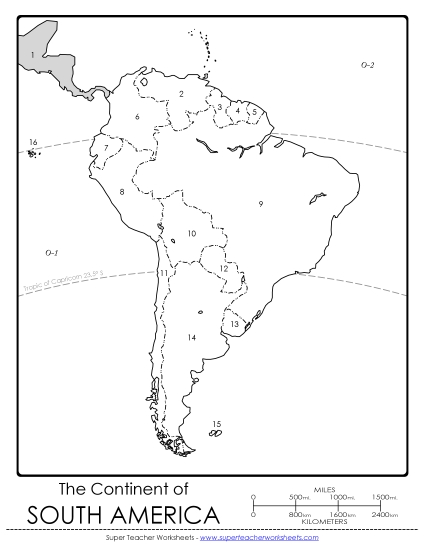
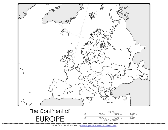
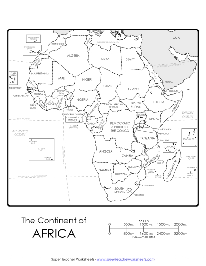
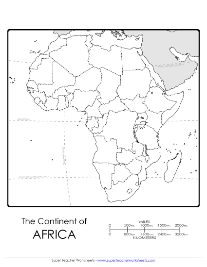
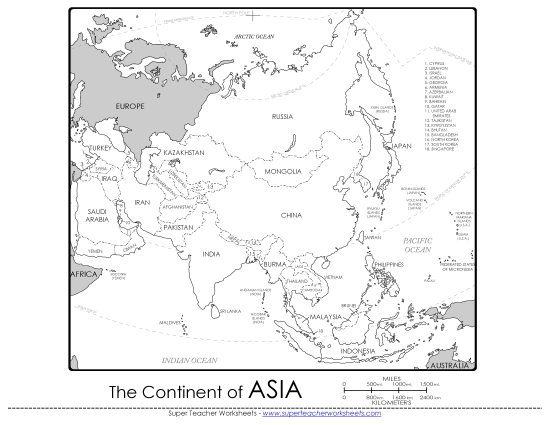
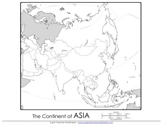
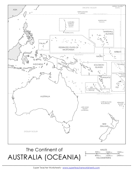
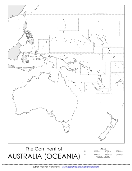
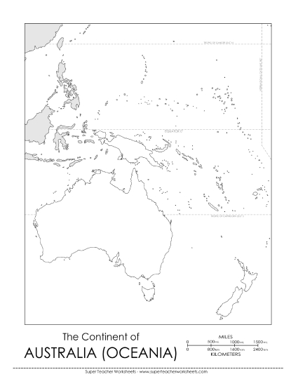
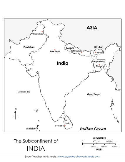
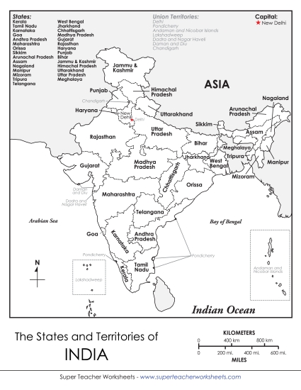
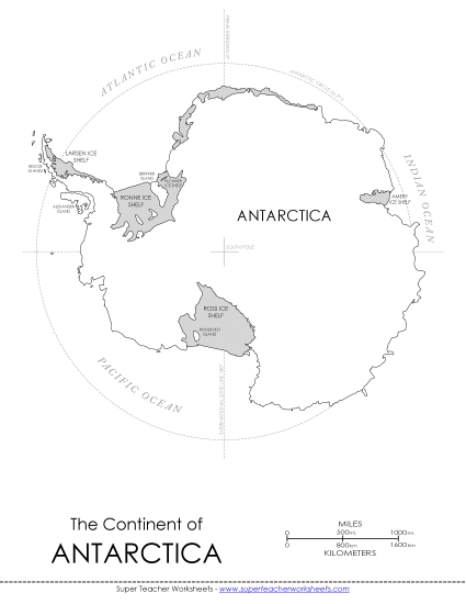
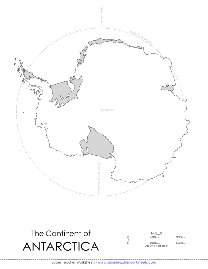
Blank maps, labeled maps, map activities, and map questions. Includes maps of the seven continents, the 50 states, North America, South America, Asia, Europe, Africa, and Australia.


Logged in members can use the Super Teacher Worksheets filing cabinet to save their favorite worksheets.
Quickly access your most used files AND your custom generated worksheets!
Please login to your account or become a member and join our community today to utilize this helpful feature.


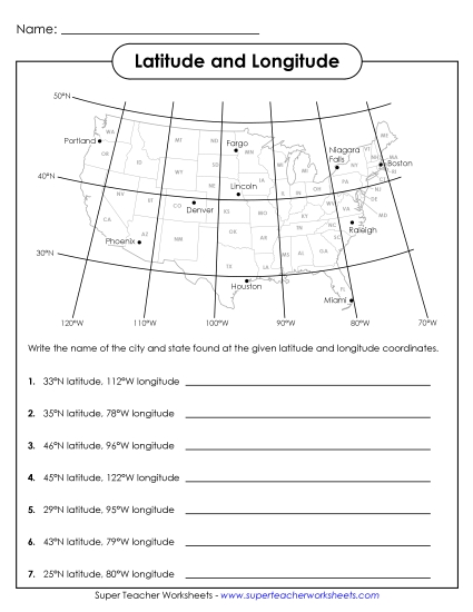

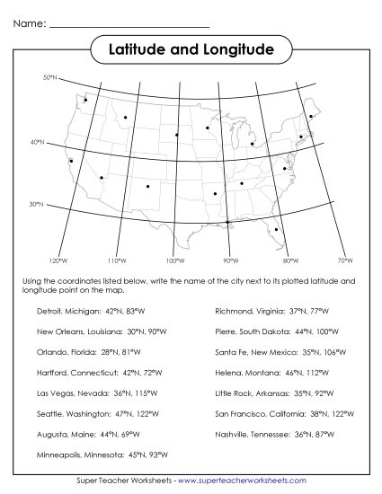
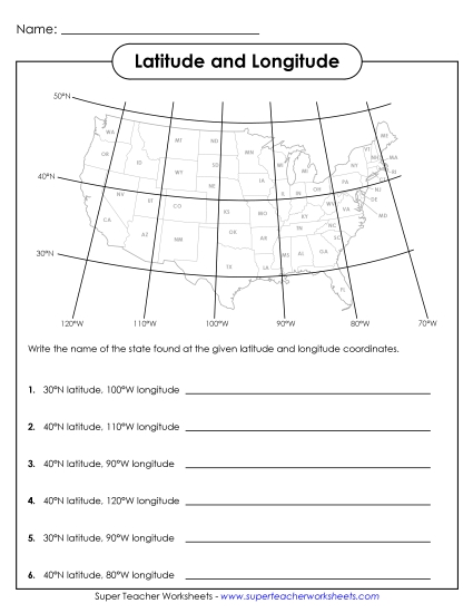
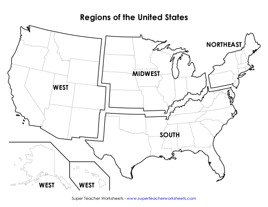
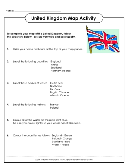
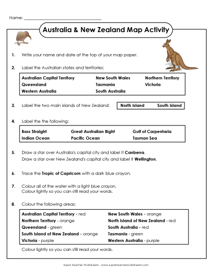

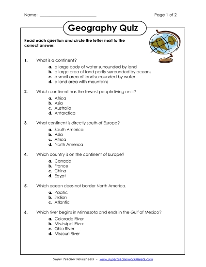


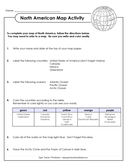
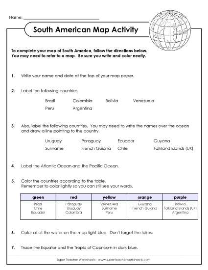
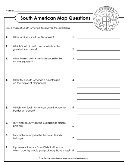


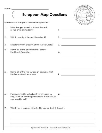
Basic worksheets on reading and using maps
50 States WorksheetsLearn about the 50 states and capitals with these worksheets. There are also maps and worksheets for each, individual state.
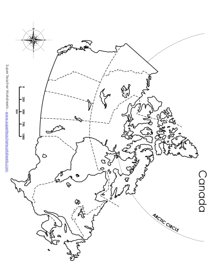
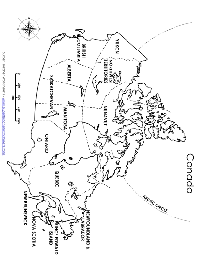
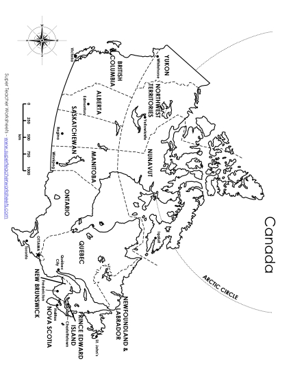
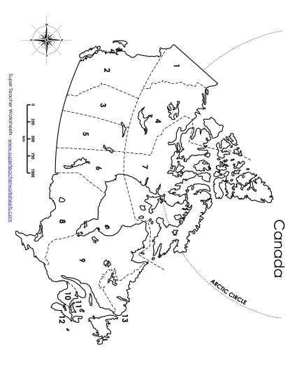
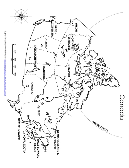
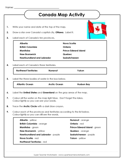
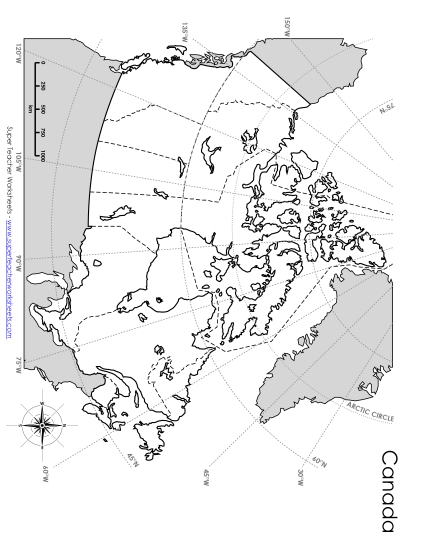
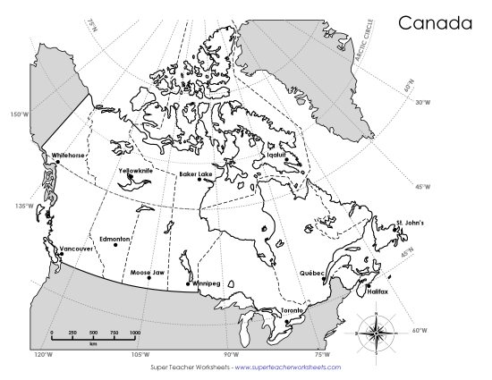
Canada WorksheetsLearn about the provinces and territories of Canada with these worksheets.
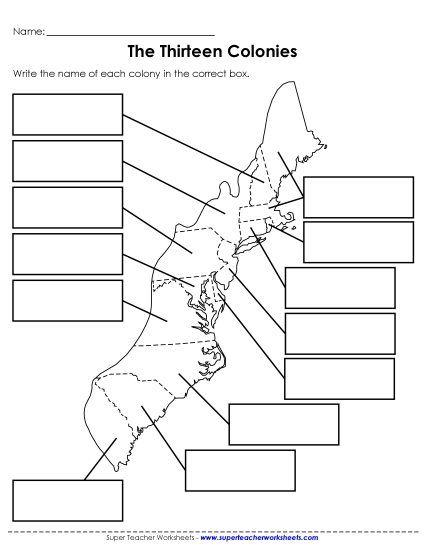
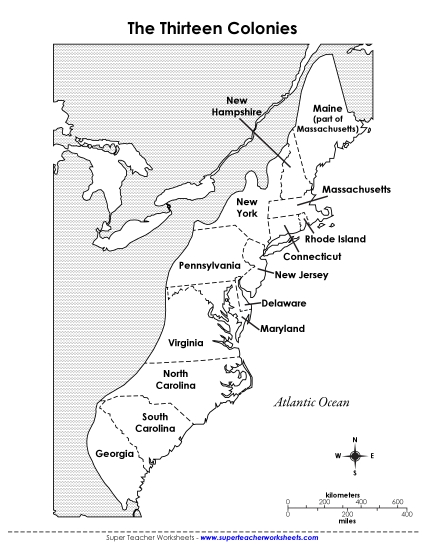
Colonial AmericaThis page has colonial American games, worksheets, and maps.


 Colonies")


